An Active Weather Pattern Ahead
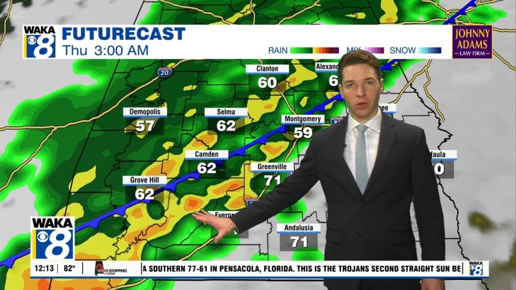
A frontal boundary moves through the state overnight into early Friday. We expect a round of showers and possibly a few t-storms. It still doesn’t look like anything too strong or severe for us. You may hear some gusty winds along with brief heavy rainfall but that looks to be about it. The rain activity moves out but the clouds linger through your Friday. Temps will still manage to reach the upper 70s to lower 80s for highs. We continue dry and warm Saturday. We’re looking at a mostly sunny sky and temps in the lower 80s for highs Saturday afternoon. Moisture increases and we will bring back the chance for rain and storms Sunday evening. It’s the beginning of a rather active weather pattern that will stick around through the middle of next week. Daily rounds of showers and storms will be possible Monday through Wednesday. A front swings through and we’re back to drier weather conditions later in the work week.


