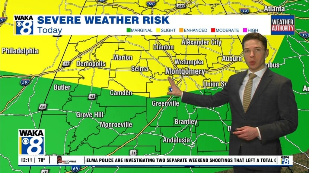
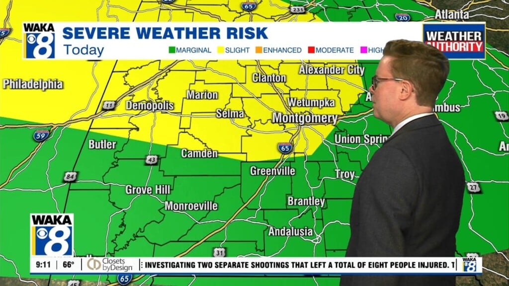
Rain, Wind, And Possibly Brief Tornadoes Saturday
Tropical storm Claudette is well inland and the center is moving over southern MS this morning. It will gradually weaken as it moves over central Alabama later today into tonight.
Impacts to our area are greatest throughout today. Rain looks to be heavy and widespread. Rain totals of 3-6″ with locally higher amounts are possible. That amount of rain could lead to river and flash flooding. Brief, spin-up type tornadoes are possible throughout the day within stronger tropical bands. Wind won’t be particularly strong, but gusts of 30 to 35 mph appear possible outside of storms.
The remnants of the system depart Alabama Saturday night. The heaviest rainfall comes to an end after midnight, but the soupy, tropical air remains in play Sunday. That leads to additional showers and storms of a scattered coverage by the afternoon. Sunday’s storms don’t have a severe weather risk at the moment.
Rain chances remain rather high early next week, with scattered to numerous showers and storms Monday and Tuesday. The heat and humidity creep back in next week otherwise, with highs approaching 90° each afternoon. Rain chances appear to decline by late next week, but won’t be zero. Global models also hint that a front could approach or even push through our area by the middle of the week. Time will tell on that for sure, it’s the time of the year where true cold fronts are a rarity.


