Possibly Our Hottest Week Of The Year So Far
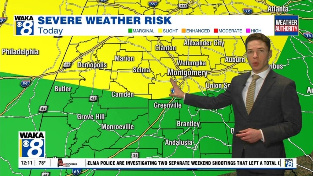
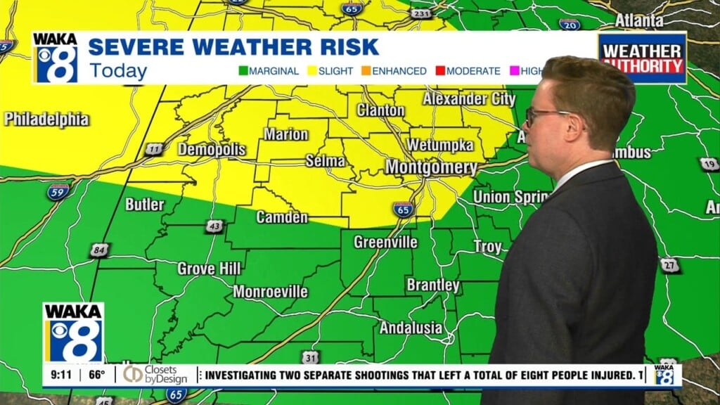
It may have felt like you walked into a wall of humidity as soon as you stepped out the door this morning. The high humidity today lent itself to heat index values in the mid 90s to low 100s by midday. The heat index could be north of 100° across much of our area throughout the afternoon. Air temperatures themselves top out in the mid 90s. Fortunately, there will be some cooling showers and storms around today.
However, even though the rain chance looks a bit better than it was over the weekend, a majority of our area doesn’t see rain today. Some storms linger in our area through the evening, but come to an end overnight. From there, the sky becomes partly cloudy to mostly clear. Monday night looks warm and humid otherwise, with lows only falling into the mid 70s.
Tuesday may feature the best chance for an afternoon shower or storm this week. There’s about a 50/50 chance that you’ll see rain at some point during the day, most likely in the afternoon or early evening. Temperatures may not be quite as hot thanks to the more widespread nature of rain. However, you won’t be able to tell, with high temperatures peaking in the low 90s at least with peak heat index values near or north of 100°.
Rain chances look decent Wednesday, which could keep the heat in check. However, the rain chance drops late this week, and the heat could become quite oppressive. Models hint that high temperatures could reach the upper 90s Friday.
The upcoming weekend features a slightly higher chance for a daytime shower or storm Saturday and Sunday. However, the weekend doesn’t look like a washout, and features plenty of heat and humidity. High temperatures reach the mid 90s Saturday and Sunday afternoon. The heat index almost certainly peaks over 100° for much of both days.


