The Heat Backs Down A Bit This Week
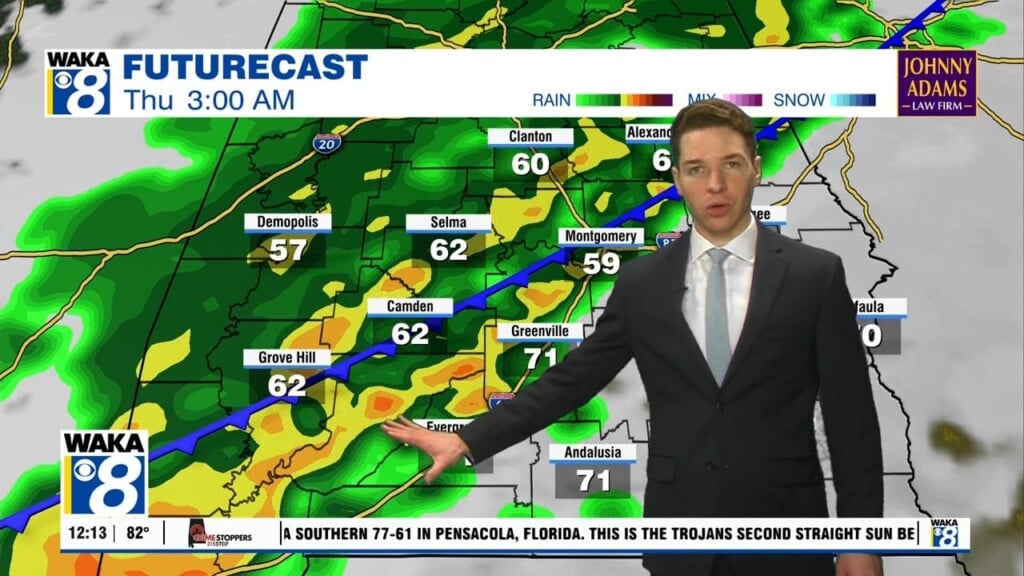
A frontal boundary will hover over the southern part of the state most of this week. It will be the focal point for more rain and storms. Disturbances will ride along the boundary and help generate the storm activity. Storms that do develop will be capable of heavy downpours, gusty winds, and frequent lightning strikes. Thanks to clouds and rain activity, afternoon high temps come down a bit this week. We’re looking at upper 80s to lower 90s. That’s below the average high of 94 degree. The heat index values won’t be near as bad as they were last week. Over the upcoming weekend, high pressure will be digging in more across the deep south. As a result, rain chances begin to trend down but the heat heads upwards again. Lower to possibly mid 90s are looking to settle in over the area once again.


