Sunny & Drier Days Ahead
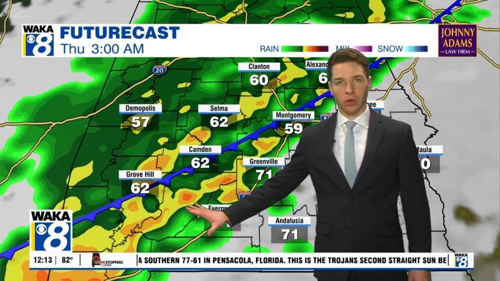
Ida is now long gone and we’re setting up for a significant change in our weather. A frontal boundary slides through the state overnight. This boundary will push a round of rain and storms through the area. The front ends up along the Florida panhandle for a few days. This is where the better chance of rain will be through Saturday. Over our area, we see abundant sunshine and drier air settling in for a few days. Mornings start out comfortable in the upper 60s and afternoons are warm in the upper 80s to around 90 degrees. Another frontal boundary will make a run at us Sunday. Once again, showers and a few storms will be possible. The front doesn’t go far and actually hangs up over south Alabama. This boundary will be the focal point for additional showers and storms through the middle of next week. In the mean time, looks like some really nice weather for your long holiday weekend.


