More Storms In The Forecast Through Wednesday
Labor Day didn’t feature the sunny and dry end to the holiday weekend that many may have hoped for. Showers and storms became widespread along a “cold” front parked across central Alabama Monday afternoon. The front wasn’t moving much, and neither were the storms. Some locations across Autauga, Elmore, and Lowndes county likely picked up 1.5-2.5″ inches of rain in a matter of hours. Fortunately, the intensity of the rain backed down early Monday evening in those locations. Showers and storms linger elsewhere through Monday evening. However, the coverage and intensity likely wanes with time. The rest of the night looks mostly cloudy with lows in the low 70s.
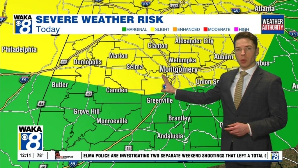
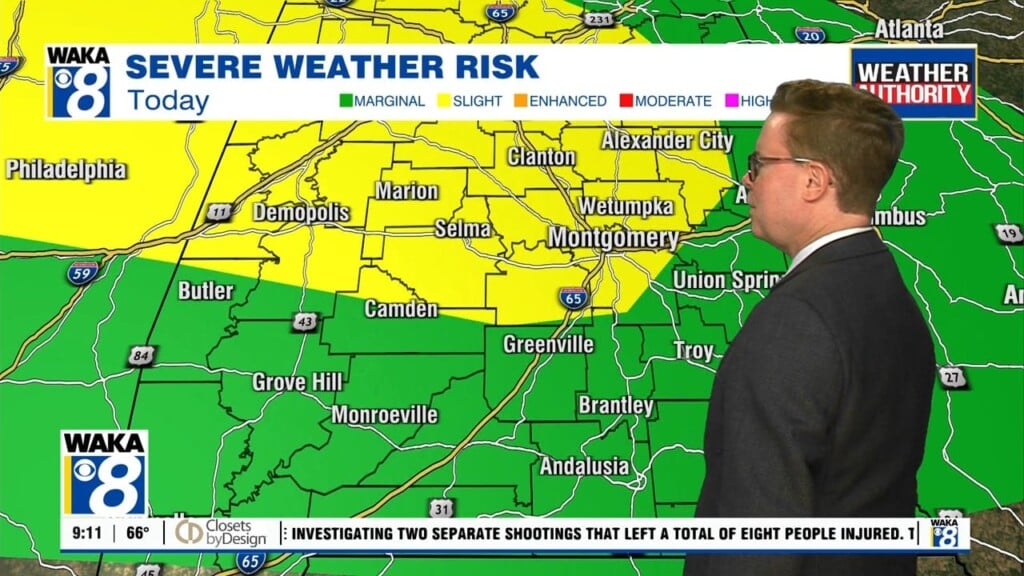
The front remains nearby Tuesday, and likely helps fuel plenty of showers and storms by the afternoon. Tuesday looks pretty typical for late summer- hot and humid outside of the storms, with highs near 90°. Much of Tuesday’s rain also winds down during the evening. Although Wednesday morning likely starts dry, expect scattered showers and storms by the afternoon. Another front arrives Wednesday, and likely serves as the focus for the rain. This front enters our area with some momentum, and likely sweeps southeast of our area Wednesday night.
The end of the week looks mainly dry and mainly sunny. Thursday and Friday afternoon feature high temperatures in the upper 80s to low 90s, but Thursday night low temperatures could fall well into the 60s. The weekend ahead looks mostly sunny, hot, and dry at the moment, with highs in the low 90s Saturday and Sunday.
Early next week looks mainly dry too, but rain could return to our area around the middle of next week. Expect highs in the low 90s next Monday and Tuesday afternoon.


