Fall Officially Begins Wednesday
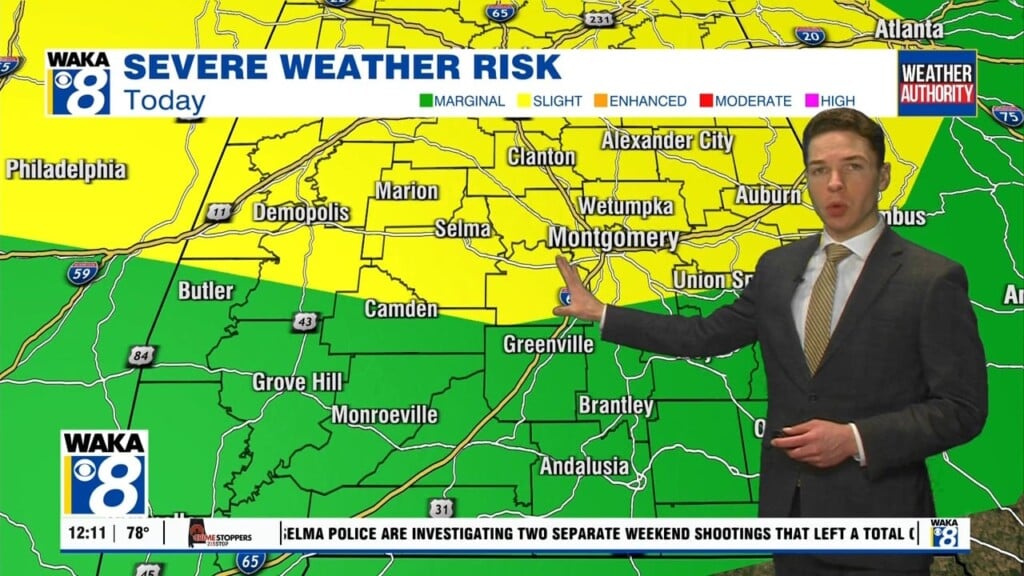
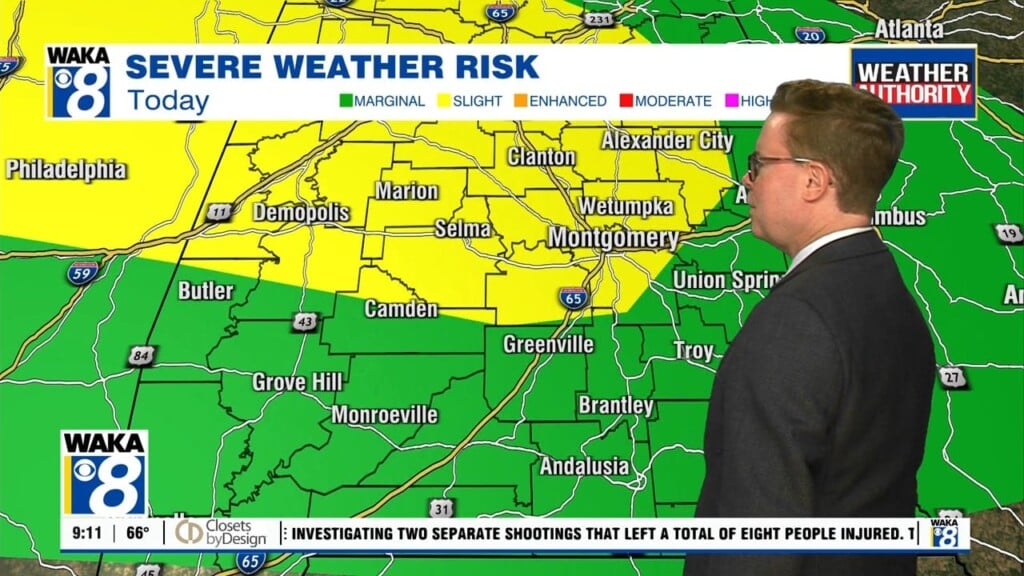
The hot and muggies linger over us but not for much longer! A cold front is on the way and its going to bring in a big time weather pattern change of us. In the mean time, we still have the chance for showers and storms through early Wednesday. This will be rain activity ahead of the frontal boundary. The front makes a push through the area and ends up south of us by Wednesday afternoon. Dry northwesterly winds kick in and we begin to feel fall air spill into the deep south. Those winds will be northwest at 7-14 with gust up to 20 mph. Temps will feel nice with upper 70s early but falling late afternoon. Clear and cool conditions are likely Wednesday night. We start out in the low to mid 50s Thursday. This will be some of the coolest air we’ve felt since last spring. Several more days of clear and dry conditions will prevail and we’re setting up for a beauty fall weekend. We expect lots of sunshine and not a shower in sight.


