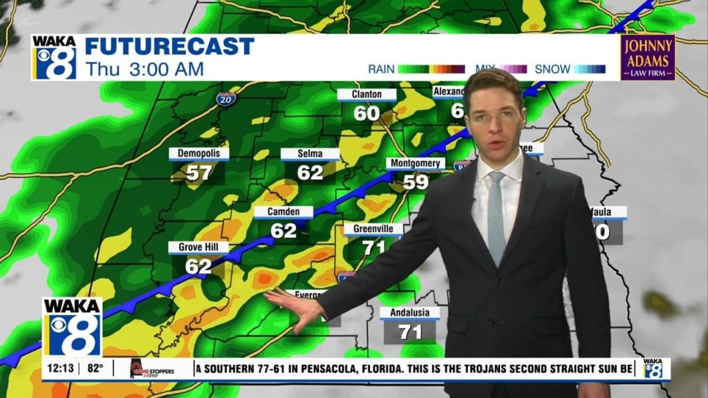
High pressure is still over the region but it’s giving ground and allowing moisture to stream into west Alabama. As a result, clouds and showers are returning and sticking around through Thursday. We can’t rule out a few t-storms at times as well. A southwest wind flow will help moisture flow into the area. In this setup, temps will still manage mid to upper 80s for highs. A frontal boundary will be pushing through the area late Thursday into Friday. We’re on the backside of it Friday into Saturday. We trend back into a mostly sunny and dry pattern until the next front approaches Sunday into early next week. Our rain chances will be going up and temps coming down thanks to clouds and rain activity. Highs drop into the lower 80s early next week. In the mean time, its your typical warm and humid setup along with a few showers/storms.


