Several Rounds Of Rain Through Midweek
Wet Through Midweek
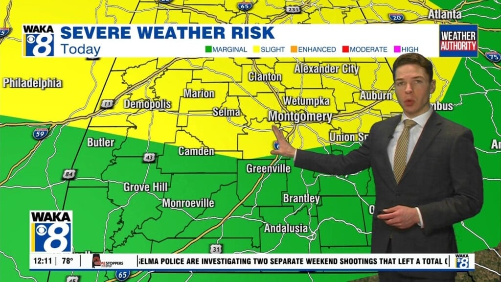
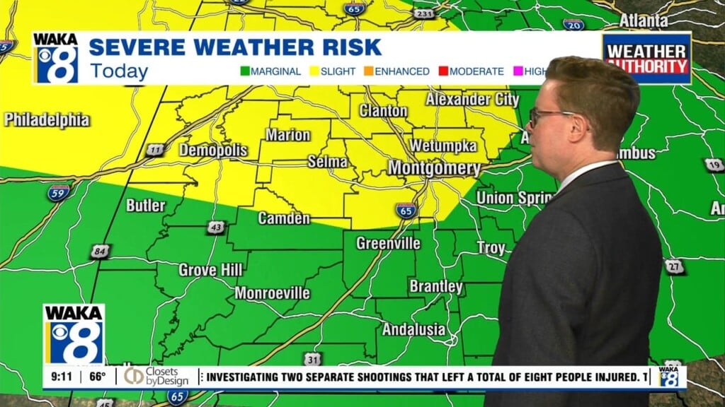
A rainy weather pattern for us through midweek! Flash watch remains through Tuesday and that’s because we’re expecting several more rounds of rain to move through here. Radar estimating some areas have already seen as much as 4 to 8 inches of rainfall. Use caution when traveling, especially in areas prone to flooding. If you’re not seeing rain then odds are its cloudy and that will be the deal through the overnight hours. Temps will hover in the upper 60s to lower 70s. A boundary will sit over the area and this will be the focal point for additional rain and storms to pass through the region. Rain will be heavy at times and some of the storms could be strong. Some will be capable of producing hail along with gusty winds and frequent lightning strikes. This active weather pattern will break down and move out late week. High pressure returns and we begin to see sunny and dry conditions Friday. A nice and sunny weekend is setting up for us as well. We could see temps warming into the mid to upper 80s both Saturday and Sunday. Another frontal boundary will be making its way towards us early next week. This could lead to additional rain and storms to start out that work week.


