Showers Ahead For Late Week
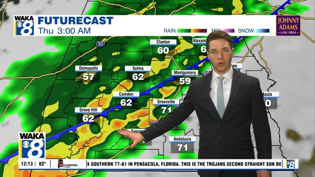
We remain under the influence of high pressure now situated just to our east. Dry and warm conditions prevail under this setup through Wednesday. As the high moves farther east, moisture works into the area and our chance for showers returns. This looks likely as a frontal boundary heads into the region Thursday. Showers would begin late Wednesday night and continue into Thursday. A few rumbles of thunder can’t be ruled out. Nothing strong or severe is expected with this system. Rainfall should be fairly light with a quarter of an inch or less expected. The front pushes through and south of us Friday. High pressure begins building back over the region. The flow behind the front is more west to east and that should keep any cold air from invading the area. Actually, temps will be warming up quite a bit over the weekend and into next week. We could see lower to mid 80s through the extended period.


