A Stormy Saturday Ahead!
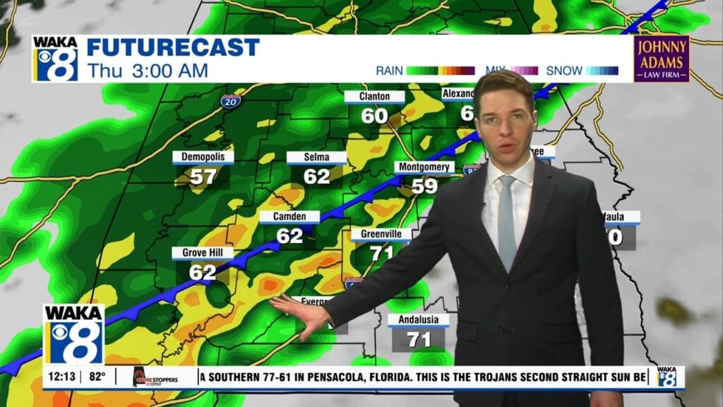
We are expecting a strong cold front will enter the state early Saturday. A line of strong to severe storms will accompany the boundary. The main threat will be damaging winds but a brief spin up tornado can’t be ruled out. Everyone needs to be weather aware throughout the day. The storms enter west Alabama around 7am and advance eastward. Central and east Alabama will feel the impacts from 11am into the late afternoon hours. You’re going to notice warm temps earlier in the day but once the front passes temps drop considerably. We will go from upper 70s to lower 60s. The cooler air will continue to spill into the area Saturday night into Sunday. Temps start out in the upper 30s to lower 40s Sunday morning and only rebound into the upper 50s to lower 60s that afternoon. Northwesterly winds will usher in dry air and that will help clear the skies out. We’re back into full sunshine Sunday afternoon and most of next week is looking sunny. Temps will respond and highs are expected to be back in the 70s by Tuesday.


