An Active Weather Pattern Through The Weekend
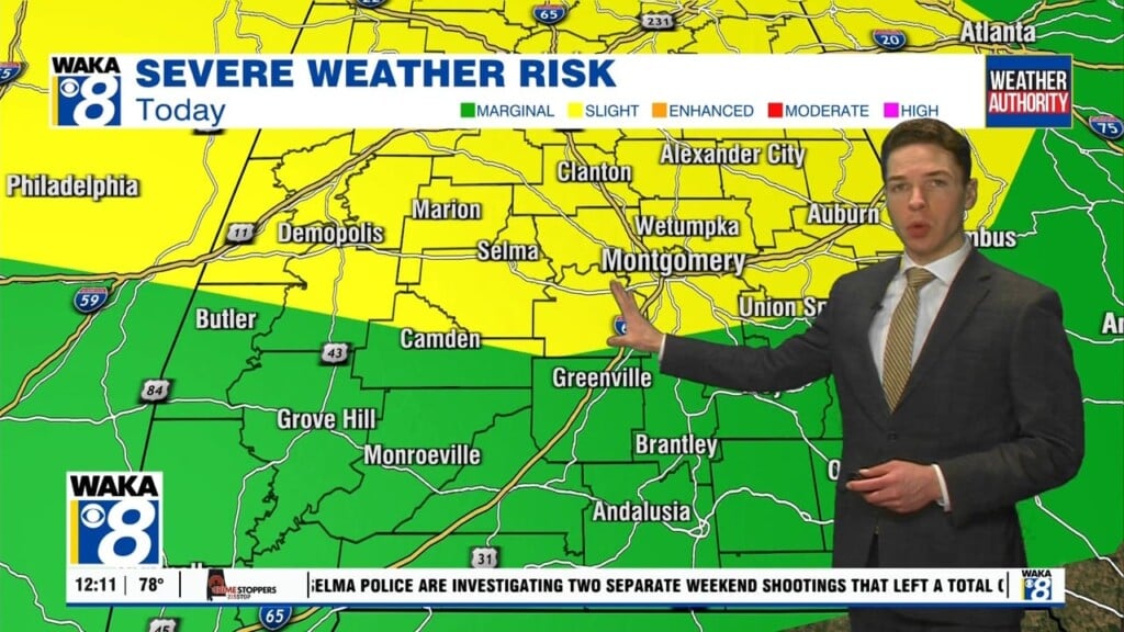
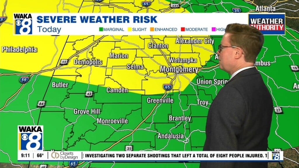
We enter into a very active weather pattern beginning Wednesday and it sticks around through the upcoming weekend. A severe storm threat moves into our area Wednesday night and continues into Thursday. The main threats will be damaging winds up to 60 mph and a few tornadoes. Periods of heavy rainfall are likely with this system as well. Everyone will need to be weather aware late Wednesday and again during the day Thursday. More 80 plus degree warmth comes our way before the storms roll in tomorrow. We’re actually staying rather warm through Saturday. Temps will continue to manage mid to upper 70s for highs. Overnight lows only fall into the 60s. The warm southerly wind flow will maintain a decent transfer of gulf moisture into the state. On and off showers are likely each day. A one to two inch rainfall is possible across the area over the next five days. The second round of storms will be moving into the region over the weekend. A severe storm threat similar to Wednesday will move through Saturday evening into Sunday. We’re on the backside of the storms Sunday evening and that’s when we transition into a a much colder weather pattern. It’s definitely feeling like spring for now but old man winter is lurking and plans to make a return going into the first week of the new year.


