Arctic Air Settles Over Us!
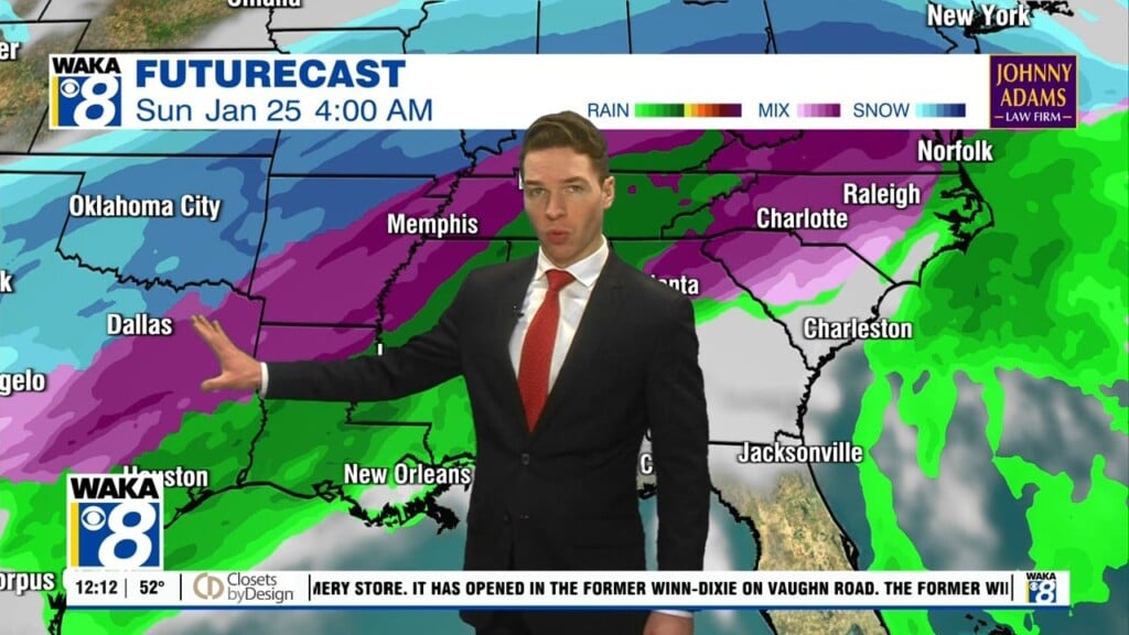
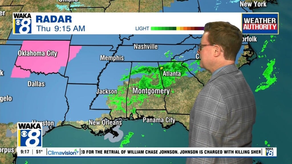
An Arctic front has pushed through the area and now we’re setting up for a much colder weather pattern. Temps will drop into the lower 30s overnight. Northwest winds of 10-15 mph will present a wind chill in the 20s. The steady rain moved east of us but there are disturbances to our west moving eastward. Fortunately, most of this deeper moisture will pass well south of our area but close enough to our southern counties for some concern. The freezing rain threat looks more likely for Mobile and Baldwin counties but any shift northward in the precipitation could move it farther inland. Caution is advised for travel into southwest Alabama overnight into early Friday. Freezing rain could be an issue on elevated surfaces like bridges and overpasses through 9AM. The rest of the day is looking cloudy and cold. Temps will only manage mid 40s for highs. High pressure will be building into the deep south over the weekend. This will get us back into sunshine but don’t expect any warming. Daytime highs hover in the 50s while overnight lows drop into the 20s. Saturday night could be one of the coldest in a while. We could see low to mid 20s early Sunday morning! Brrrrrrr!