Sunny Tuesday, Warm Wednesday, Storms Thursday
Tuesday morning was cold and frosty, with lows in the upper 20s to low 30s. However, similar to Monday, it was a much different story by midday. Temperatures surged into the 60s, thanks in part to abundant sunshine. Temperatures warm to either side of 70° Tuesday afternoon. Tuesday night won’t be as cold with lows in the low 40s.
Wednesday looks even warmer than Tuesday, as temperatures surge into the mid 70s during the afternoon. The sky features sunshine and some clouds, while winds become breezy, out of the southeast at 10 to 20 mph. Wednesday night lows won’t fall below to mid to upper 50s. More clouds fill the sky by Thursday morning. However, the vast majority of rain and storms hold off until the afternoon and evening, in advance of a cold front.
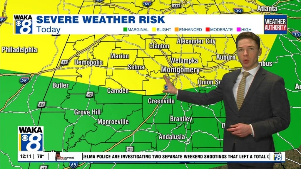
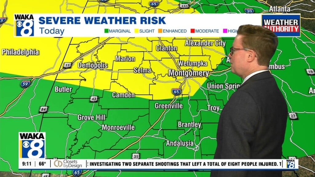
Some of Thursday’s storms could be severe. The storm prediction center places the west half of Alabama within a slight (level 2/5) risk for severe storms. The rest of Alabama lies within a marginal (level 1/5) risk for severe storms. Damaging straight line winds up to 60 mph look like the main hazard. However, wind gusts of 30 to 40 mph appear possible outside of any storms throughout the day. A couple tornadoes appear possible too, mainly west of I-65.
Storms come to an end late Thursday night. However, some rain could linger in the southeast corner of Alabama through early Friday morning. Temperatures turn much colder by Friday morning behind Thursday’s cold front. Temperatures may not exceed the 50s Friday afternoon. Clouds may hang tough throughout the day too. Friday night turns colder with lows in the 30s.
Sunshine appears possible, and could be quite abundant throughout the weekend. Temperatures remain on the cooler side of the coin, with highs in the 60s and lows in the 40s or 30s. Clouds increase with rain possible early next week. However, temperatures trend up as well as winds turn to the south again.


