Gusty Winds & Strong Storms Ahead For Thursday PM
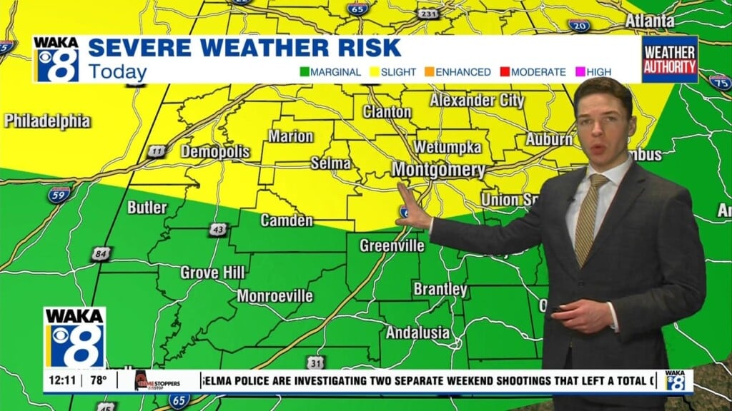
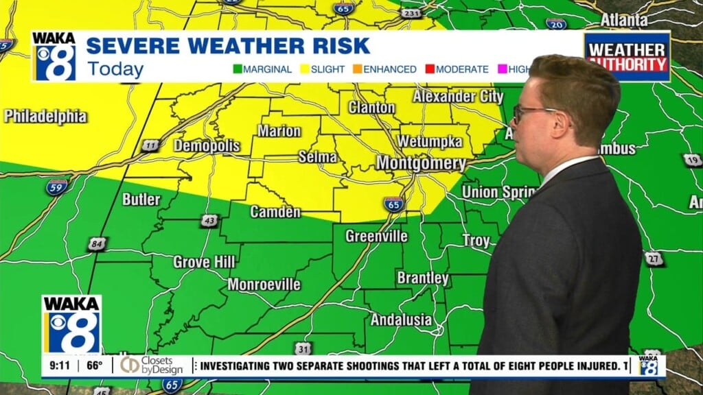
A storm system will make its way into the deep south Thursday afternoon and advance eastward across our state. Storms that do develop will be capable of producing damaging winds and a few tornadoes. Outside of the storms, we expect winds to be rather gusty throughout the day. Sustained winds of 10-20 mph along with gust up to 40 mph. The strong southerly winds will also bring in much warmer air and we could be flirting with near 80 degree warmth in spots. The storms enter west Alabama around 3pm and move eastward through the evening. Storms arrive in central Alabama between 7pm and 8pm. We expect the storm activity to exit our southern and eastern most counties around 2am. We’re on the backside of the system Friday. A surge of colder air comes in on northerly winds throughout the day. Temps drop into the low to mid 30s for lows and mid to upper 60s for highs over the weekend. High pressure returns and that puts us back into sunshine and drier conditions. It’s short lived as moisture quickly returns early next week. It’s looking like another active weather pattern will settle over us. On and off rain and storms are likely throughout the week.


