Looks Like An Active Weather Pattern Ahead
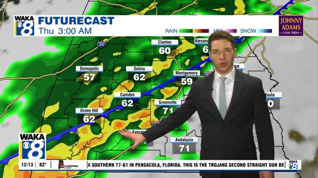
High pressure is back over the region and that will help provide us a nice looking weekend weatherwise. Mornings start out chilly in the low to mid 30s but afternoon highs will hover in the mid to upper 60s both days. Mostly sunny and dry conditions prevail throughout the weekend but moisture is on the way back for next week. It’s looking like a rather active weather pattern with several opportunities for showers and storms to work across the area. A frontal boundary will move into the state and hover over us. This will be the boundary for disturbances to move along and bring rain into the area. The wind flow will be southerly and that should keep temps rather mild throughout the week. We’re expecting highs in the mid to upper 70s from Tuesday through late week. The longer range look is showing the frontal boundary to finally move out just in time for the start of next weekend. This would suggest sunny and drier conditions. In the mean time, hope you can get out and enjoy some sunshine and warming this weekend.


