Spring-Like Warmth Ahead
We’re in the midst of a fairly active weather pattern this week. The current round of rain is moving out but there will be more ahead. Temps will warm significantly only to drop below normal over the upcoming weekend. There will be a few days where spring fever may be in the air so beware!
TONIGHT/TOMORROW: In the mean time, the rain departs but the clouds linger through the night. Temps only drop into the mid 50s for lows. Tuesday is looking a lot brighter and definitely warmer as temps climb into the upper 70s for highs. A few showers can’t be ruled out but most spots remain dry.
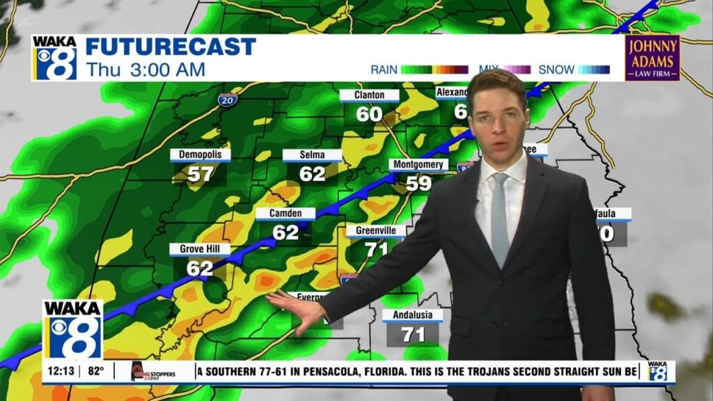
MIDWEEK: Morning temps will only fall into the upper 50s to lower 60s. Spring-like warmth will be in play as afternoon temps climb into the upper 70s to lower 80s. We could see a round of showers Wednesday afternoon. Thursday is looking even warmer with highs in the lower 80s.
LATE WEEK: A frontal boundary works into the area late Thursday into Friday. Clouds and rain return along with cooler air. High pressure comes in behind the boundary helping to clear the skies. Temps will be noticeably cooler with highs back in the 60s Saturday and only 50s Sunday.


