More Rain Ahead Then Turning Much Colder!
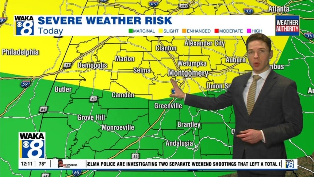
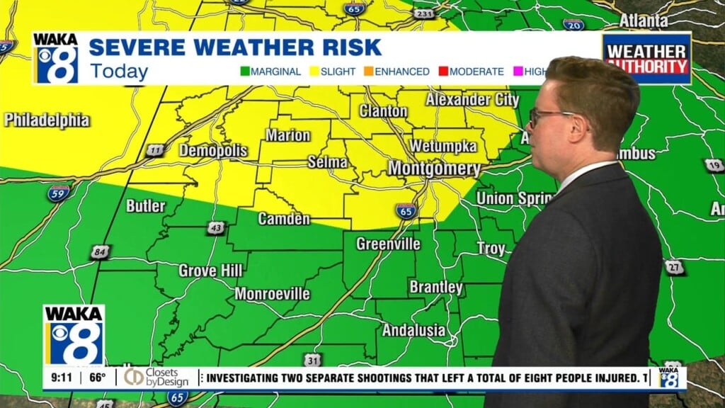
A frontal boundary will push through the area the area tonight. Showers are still possible along and ahead of the boundary. Temps will cool into the lower 50s for overnight lows. The front will work back northward and we’re expect for rain to move through the are Tuesday and Wednesday. It’s going to be a mostly cloudy and wet weather pattern for a few days. Temps will only manage the mid 60s for highs through midweek. We’re in between systems Thursday. This will probably be the better day of the workweek weatherwise. A partly sunny sky will help boost temps back into the lower 70s for highs. The warming continues ahead of another frontal boundary Friday. We start the weekend out with highs in the mid 70s Friday afternoon. That warm up may lead to storms Friday afternoon and evening. We are keeping a close watch on a possible severe storm threat Friday. We will keep you updated. One thing is for certain and that’s a blast of colder air heading this way Friday night into Saturday. It may be even cold enough for a few flakes to fly early Saturday morning. The rest of the day will gradually clear out but temps don’t climb much. We may struggle to reach 50 degrees Saturday afternoon. You can expect a freeze Sunday morning. We’re expecting temps down into the upper 20s to lower 30s Sunday morning! You should be thinking about taking care of those tender plants before the weekend.


