More Strong To Severe Storms Ahead This Week
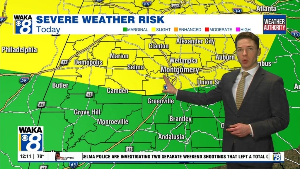
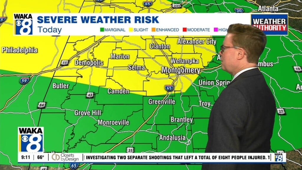
Another strong to severe storm threat ahead this week. Doesn’t seem like we’re going to miss a week this storm season. In the mean time, we have a weak disturbance moving through the area tonight. Mainly just clouds and some light rain with it. This system will move out later this evening. The clouds should break up a bit but that may lead to some fog in area towards Tuesday morning. Any lingering fog will lift and we’re under a partly sunny sky Tuesday afternoon. Temps will warm into the lower 80s for highs. We continue rather quiet weatherwise through Wednesday afternoon. What you see Tuesday is pretty much a repeat Wednesday. The storm threat will go up late Wednesday evening as a line of storms approaches from the west. Some of these storms could be strong and possibly severe. The main threats will be damaging winds, quarter size hail, and a few tornadoes possible. We expect the threat to linger into early Thursday morning in East Alabama. A frontal boundary will swing through behind the storms but hover just to our south Friday. We will keep the chance for scattered showers and storms right through the upcoming weekend. It won’t rain all the time but storms will be around at times. Temps will continue warm with highs in the lower 80s.


