An Active Weather Pattern Ahead
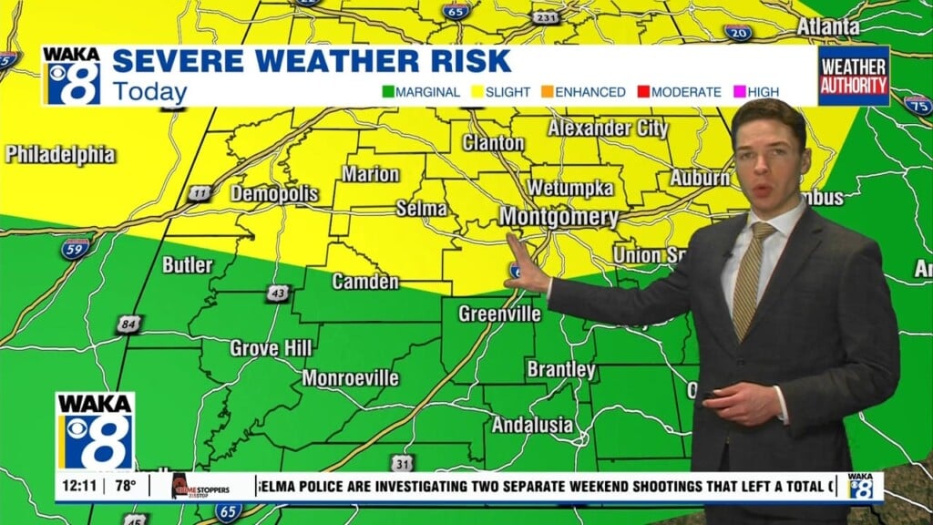
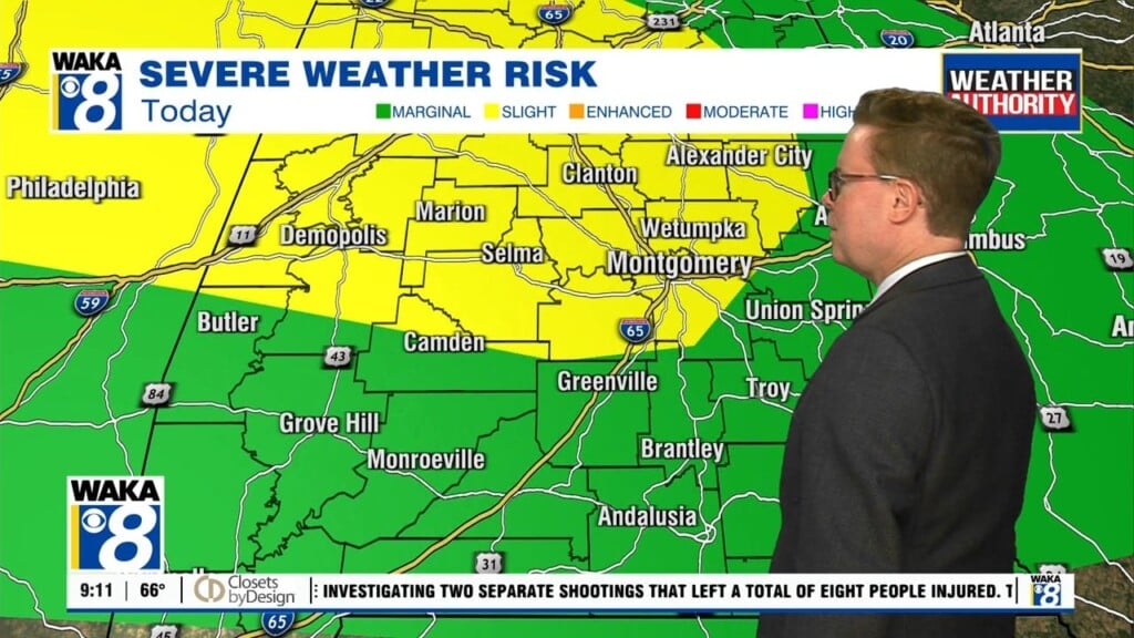
We’re about to enter into an active weather pattern as we head into midweek. A frontal boundary is heading south with rain and storms. Some of the storms could be strong to severe. In the mean time, we have a warm and muggy Wednesday on the way. Skies continue mostly cloudy with temps climbing into the lower 80s for highs. A few passing showers can’t be ruled out throughout the day. The main event will head into the area Wednesday night into Thursday morning. Rain and storms are likely with some storms possibly severe. The main threat will be damaging winds up to 60 mph. We can’t rule out a few tornadoes as well. We expect the storms to be east and into Georgia by noon Thursday. We’re in between systems on Friday and it’s looking mostly sunny and warm with lower 80s for highs Friday afternoon. The frontal boundary that pushes through our area on Thursday is going to lift back northward during the weekend. This will put it over the area and that will lead to occasional showers and storms both days. We don’t see it raining all the time but expect to have to dodge a few during your outdoor activities. Temps will continue warm with highs in the upper 70s to lower 80s while overnight lows hover in the upper 50s to lower 60s.


