Keep The Rain Gear Handy This Week
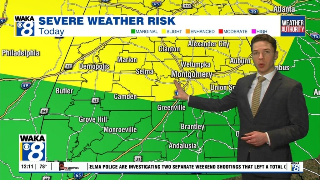
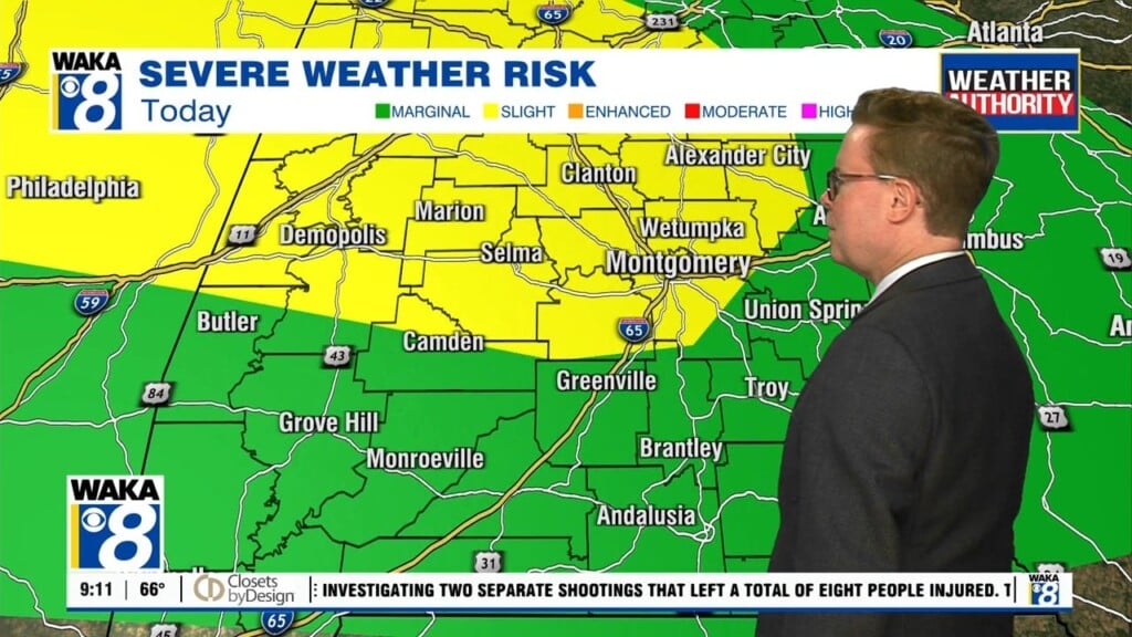
A rather active weather pattern is ahead for us this week. Periods of rain and storms are likely through late week but improving conditions are ahead for the holiday weekend. In the mean time, clouds along with rain and storms will work through the region each day. Some of the storms could be strong to severe. The main threat will be damaging winds up to 60 mph. Rainfall potential of 2-3 inches is possible over the next three days. A frontal boundary will move into the state late Wednesday into Thursday. This front will sweep the active weather to our east but not before another round of strong to possibly severe storms swing through the area. We’re on the backside of the frontal boundary Friday and this will be the beginning of a really nice weather pattern. It’s all just in time of the holiday weekend and the official start to summer. High pressure returns and we’re looking at lots of sunshine and temps in the upper 80s to lower 90s for highs Saturday and Sunday. The sunny and drier weather pattern will continue into the early half of next week.


