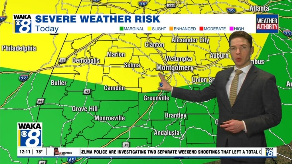
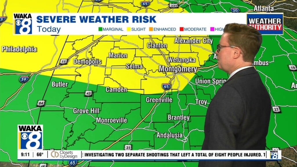
Periods Of Rain & Storms
We remain in a very active weather pattern and it’s sticking around through Thursday. This means we get periods of rain and storms to move through the area. There is a threat for some storms to produce damaging winds and hail. We will need to introduce a very low end risk for tornadoes as well. Rainfall potential is looking like an additional 1 to 2 inches possible over the next two days. All this active weather is ahead of a frontal boundary that will push through the state Thursday. We’re on the backside of the boundary Friday and that puts us in a mainly clear and dry weather pattern for the upcoming holiday weekend. We expect abundant sunshine along with temps in the 80s for highs. It’s the beginning of a quieter weather pattern that hangs around through the middle of next week.


