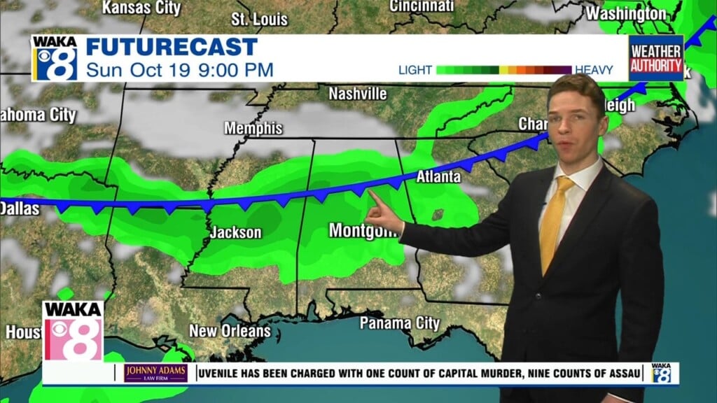
Routine Mid-July Weather; Gulf Tropical Mischief
THE WEEK AHEAD: Nothing too unusual for mid-July in Alabama. The days will feature hot and humid conditions, with highs ranging from the upper 80s to mid 90s most days, which are pretty close to normal values. Expect a mix of sun and clouds each day with scattered showers and storms, mainly during the afternoon and evening hours. Rain chances most days are around 40%, but a few days it will be higher due to some tropical mischief in the Gulf. Other than that, it looks and feels a lot like mid-July in Alabama.
KEEP AN EYE ON THE GULF: A surface trough of low pressure is expected to form in a couple of days over the northern Gulf of Mexico, partially related to a
decaying frontal boundary currently located over the southeastern United States. Some slow development of this system is possible if it remains offshore during the middle and latter part of the week while it moves little. Regardless of development, heavy rains will be possible along portions of the northern Gulf coast from Louisiana to the Florida Panhandle over the next several days. Formation change through 5 days…low…30 percent. If the system develops it would be Danielle and it could cause changes in the forecast later this week.

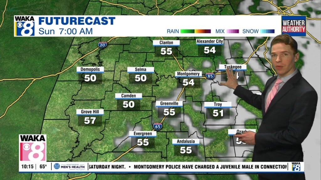
THE CENTRAL ALABAMA WEEKEND: The good news is that the big time heat levels stay off to our west and northwest, and our weather will be pretty typical for summer. A good bit of sun to start each day, with the chance of a some scattered afternoon storms. Highs in the upper 80s to the lower 90s on both days.
Have a great Monday!!!
Ryan