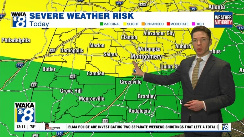
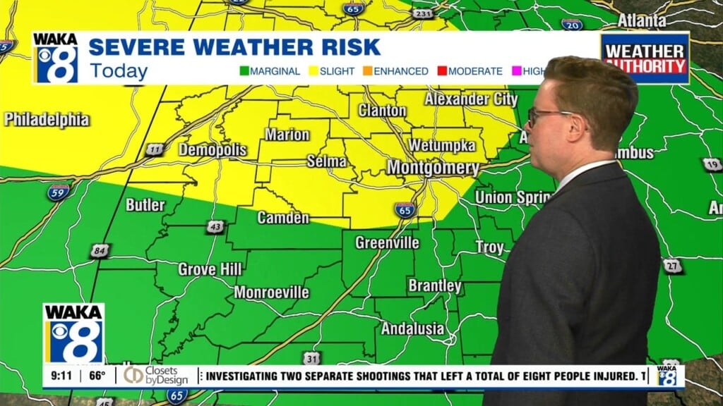
Strong To Severe Storms Possible Thursday!
A frontal boundary will make an entrance into the state Thursday. This boundary will help ignite rain and storms over the area. Some of the storms could be strong to possibly severe. The main threat will be damaging winds up to 60 mph. We could actually see two rounds of storms. One coming through earlier in the day and the second towards the evening hours. Temps will be a little tricky as morning storms could delay any significant heating. If storms don’t reach your area, temps could easily manage mid 90s with heat indices around 105 degrees. The frontal boundary never makes it through our area but the air mass remains moisture rich and more rain/storms are expected Friday. The boundary will retreat and we’re under a strengthening high pressure system over the weekend. We see us trending hot and humid with fewer storms around. High temps will manage mid to upper 90s and we see this lasting well into next week.


