Rain Chances Increase Slightly
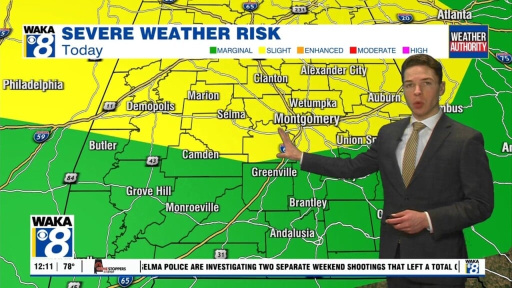
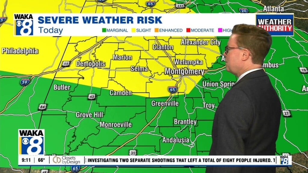
High pressure remains the main weather feature over us but just to our north a frontal boundary dips into the state. This boundary will enhance the risk of showers and storms across central and north Alabama Friday into Saturday. Around here it will be more of the same with scattered afternoon showers and possibly storms. Temps will continue to manage mid 90s for highs. The front will move north and away from the state Sunday. High pressure strengthens and we see fewer if any showers Sunday. Next week will trend a little more active Tuesday into Wednesday. Moisture increases and we’re back to seeing a better coverage of showers and storms. Temps will retreat just a bit and hover in the lower 90s for a few days.


