Rain Finally Back in the Forecast
DRY START TO WEEK: Today will bring slightly warmer temperatures to the area as highs will be in the upper 70s to the lower 80s under a sunny sky. Tomorrow will be another warmer day with highs in the mid 80s for most locations across Central and South Alabama. Humidity levels will start to increase ahead of an approaching cold front. We will remain dry with a few more clouds in the sky as times.
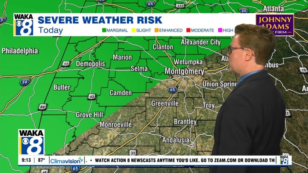
RAIN RETURNS: Moisture continues to move in from the south as the cold front moves closer to the area on Wednesday and will eventually move through the area during the overnight hours and into the first part of the day on Thursday. Rain and storms are expected to develop across the area by midday hours and we will continue through the afternoon, evening, and overnight hours as the front pushes south through the state. There could be few strong storms mixed in as well, as highs head into the low to mid 80s.
The front and the rain will be out of the area by Thursday afternoon and the sky will clear out. Drier and cooler air will be moving in, and we’ll see highs in the lower 70s to the lower 80s. Friday will be a beautiful, sunny, and very comfortable as highs will be in the 70s.
WEEKEND WEATHER: Saturday will be another beautiful and mild day across the area, with highs in the 70s. Sunday will be a mainly dry and mostly sunny day across the area, but a weak front will try to push into the area late in the day and into the evening that may bring more clouds to the areas. We should see some rain showers across the area again by next Monday.
Have an incredible week!!!
Ryan