Overcast Today; Strong/Severe Storms Tomorrow

TUESDAY: Tuesday will feature conditions very similar to yesterday, with a very slight chance for isolated showers and highs in the mid 60s. For tonight, lows will be in the mid 50s with a chance for showers.
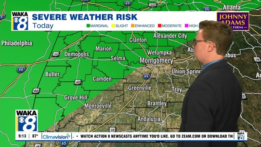
WEDNESDAY: Wednesday will start with isolated showers, before the line of storms will be likely to enter the state in the morning. Our area will likely experience the line beginning around noon, persisting into the evening hours of Wednesday. A 3/5 Enhanced Risk is in place for a few of our counties, including Marengo and Wilcox. The rest of the area remains in a 2/5 Slight Risk, with main threats being damaging wind gusts up to 60mph, isolated tornadoes, and very heavy rain which could contribute to flooding. Highs will be in the upper 60s and low 70s.
WEEK AHEAD: After Wednesday, temperatures will be taking a big time hit! Highs will likely trend downwards, eventually ending up in the low to mid 50s with sunny skies.