Code Red Weather Day
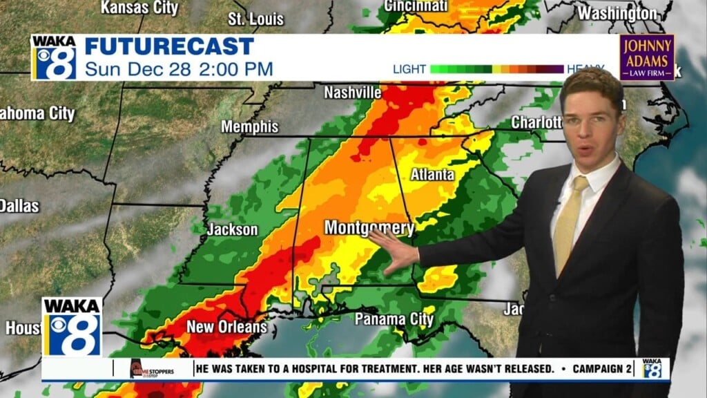
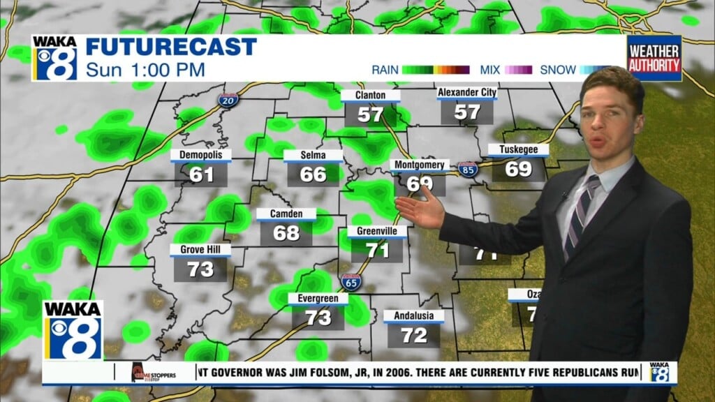
WEDNESDAY: As of 4:40, the strong line of storms is crossing the Louisiana and Mississippi border, and has already produced several tornado warnings. This same line will be headed our way within the next few hours. A TORNADO WATCH is likely to be issued for west Alabama within the next couple of hours. Aside from the normal severe threats, heavy rain and flooding will also be a major concern. For the whole area, the timing is roughly noon until about 2am tomorrow. Highs will be right around 70°. For tonight, this line will still be impacting the area so HAVE MULTIPLE WAYS TO RECEIVE WARNINGS!!!
THURSDAY: After the line pushes through, much nicer and cooler weather will return! Highs are likely going to be in the low 60s Thursday, with temperatures continuing to trend downwards through the weekend.
WEEK AHEAD: After today, well below average temperatures will be expected at least for the next 8 days. There are some indications that the week of Christmas could have several days at or BELOW freezing!!!