Stormy end to the week and into the weekend
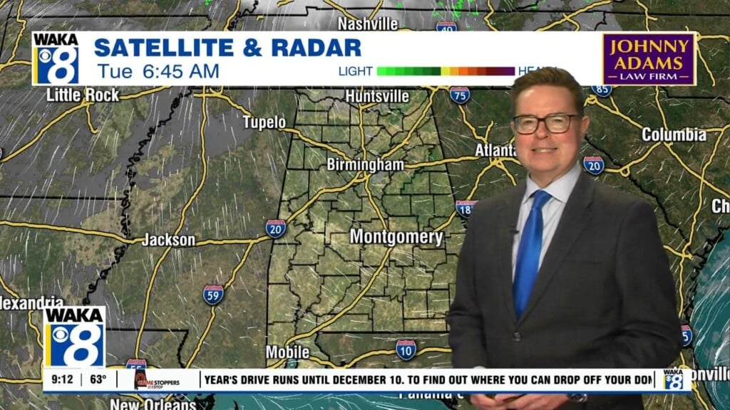
RADAR CHECK: A nearly stationary band of rain and storms has developed early this morning from the Tennessee Valley down into parts of East Alabama. These storms are very efficient rain producers, and flash flood warnings have been issued for parts of Lauderdale, Limestone, Morgan, Cullman, Blount, and St. Clair counties during the pre-dawn hours. Some spots have received nearly two inches of rain since midnight.
THE ALABAMA WEEKEND: We are looking at fairly routine summer weather tomorrow and Sunday… mixed sun and clouds both days with a few scattered, mostly afternoon and evening showers and thunderstorms around. Chance of any one spot getting wet both days is 20-30 percent, and highs will be in the low 90s.
NEXT WEEK: The heat ridge will remain west of Alabama, and our weather won’t change much. Partly sunny days, scattered mostly afternoon/evening showers and storms, and highs in the 88-93 degree range through the week