Helene to rapidly strengthen before hitting Florida’s Gulf Coast
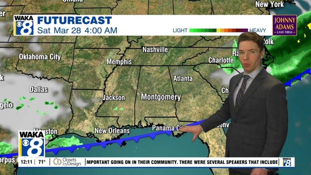
Tropical Storm Helene is expected to reach Category 3 Hurricane status in the Gulf of Mexico before crashing ashore in Florida. The projected landfall comes late Thursday, somewhere east of Panama City and north of Tampa. The most likely path would then take Helene northward through Georgia Thursday night and early Friday, although far eastern portions of Alabama can’t be ruled out of the eventual track.
Far ahead of the tropical system, rain and thundershowers will become likely in the Montgomery area during the day Wednesday. Widespread rain and breezy conditions are expected for Thursday and Thursday night. Damaging winds should mostly affect Florida and Georgia, but heavy rain could cause flooding concerns in our area.
With rain coming soon, Tuesday should be the last time this week that our temperatures climb into the 90’s.