Sunshine, warm days, cool nights to end February and begin March
Some clouds were in the sky Thursday as a cold front moved through Alabama. However, no rain affected our area. Winds became breezy behind the front, out of the west-northwest at 10 to 15 mph with higher gusts. Winds gradually settle down Thursday night. Meanwhile, temperatures turn colder behind the front. Lows range from the upper 30s to low 40s early Friday morning.
Temperatures warm into the low 70s Friday afternoon. The sky remains mainly sunny throughout the day. Friday night lows fall into the low 40s. The sky remains mainly sunny this weekend. Temperatures warm into the low 70s Saturday, but Sunday looks cooler. Temperatures may fall into the 30s during the morning. Afternoon temperatures may only warm into the 60s.
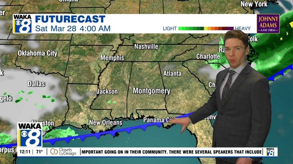
Temperatures warm back up early next week, while clouds increase. Spotty showers appear possible Monday, but Tuesday looks mainly dry. Either Tuesday night or Wednesday, rain and storms return to central and south Alabama. The storm prediction center already highlights the potential for severe storms. The greatest severe risk Tuesday lies west of Alabama, near the Ark-La-Tex and Ark-La-Miss for now.
A slight (level 2/5) severe risk includes part of Alabama through Tuesday night. With next week’s system still days away, details regarding storm timing and potential hazards are murky. Check back for updates as details become clearer in the coming days. By late Wednesday, a cold front pushes through Alabama. Thursday and Friday look partly cloudy and mainly dry.