Umbrella Alert For Wednesday
Looks like a couple rounds of precipitation coming through the area this week. The first will be Wednesday and the second over the weekend. There’s no wintry threat with Wednesday’s rain activity and it’s unlikely we have any threat with the weekend system. I will point out that we always watch this a bit closer when really cold air is lurking!
In the meantime, clouds will be on the increase and rain eventually moves into the area overnight. Temps won’t be near as cold and we’re only falling into the upper 30s and lower 40s overnight. A frontal system will slide into the state Wednesday. We’re expecting periods of rain to pass through during the day. Rainfall amounts will be light and under .25 of an inch. As the precipitation departs more cold air spills into the state. Thursday is looking sunny but rather windy and cold with temps only reaching the lower 40s for highs. Friday is going to start out cold with temps in the lower to mid 20s that morning.
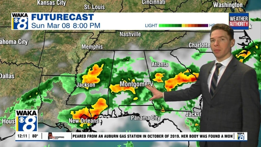
Heading into the weekend, another area of precipitation will slide through the state late Friday night into early Saturday. We expect temps to be above freezing and therefore no wintry precipitation threat. The air mass over us will be still be cold with highs around 50 and lows in the 30s. The mainly sunny and cold weather pattern will continue into next week as well. Looks like winter is back and it’s sticking around a bit longer this time around.