Mainly cloudy, rounds of rain this weekend, some storms Sunday
Friday was a gloomy day, with widespread clouds and high temperatures mainly in the 50s. However, after some showers during the morning, the afternoon and evening was relatively dry. Our area likely remains mainly dry Friday night, though clouds linger, with lows on either side of 40°, and a northeast breeze of 4 to 8 mph. Much of Saturday could be mainly dry, but mainly cloudy with high temperatures in the 50s to low 60s south.
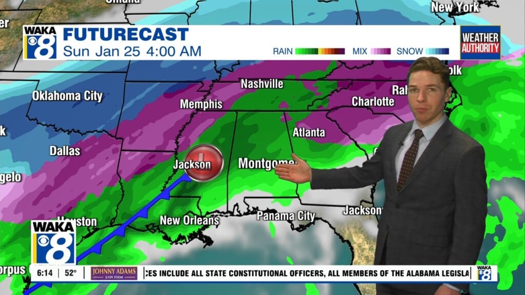
Another round of widespread, soaking rain arrives Saturday evening, lingering through Saturday night. Rain and ultimately some storms continue throughout Sunday. A few storms may become strong to severe, mainly south of Interstate 85 in southeast Alabama Sunday afternoon. The storm prediction center currently places a marginal (level 1/5) severe risk there. A damaging wind gust or brief tornado look like the main hazards, but the severe risk is very low.
Rain tapers off late Sunday as a strong cold front pushes through our area. Temperatures fall into the low 30s or perhaps 20s Sunday night, but lower wind chill values due to brisk northwest winds. Afternoon high temperatures only range from the 30s to low 40s Monday despite the return of sunshine. Meanwhile, wind chills remain lower. Monday night looks very cold, with lows in the low 20s, perhaps upper 10s. The rest of our final week of January remains cold.