Rain & Storms Saturday Then Turning Colder Sunday
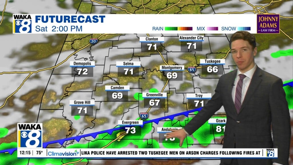
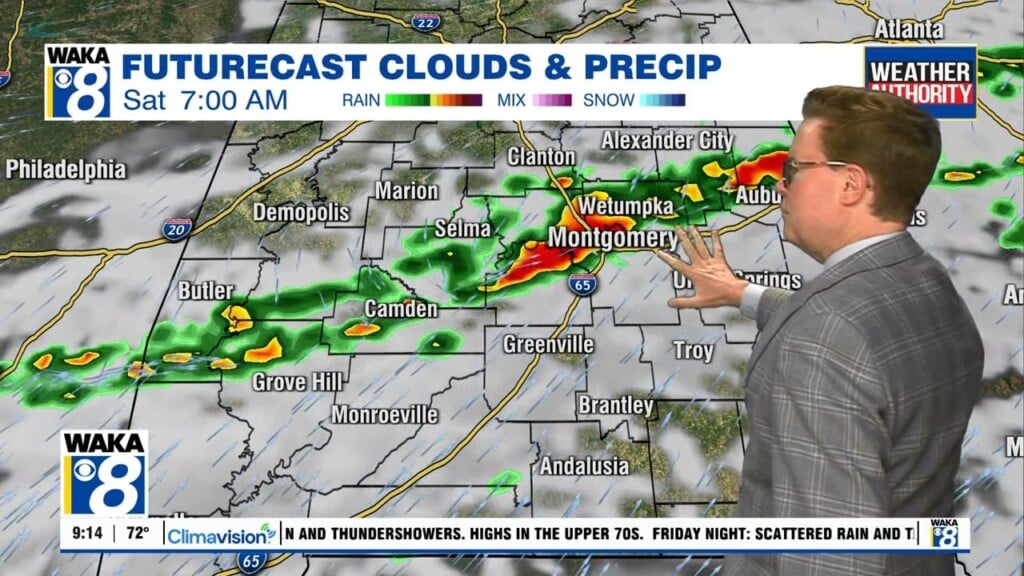
A frontal system will hover over the area through Saturday evening. Showers and t-storms are likely along and ahead of the boundary. Additional rainfall will range between .50 to 1 inch. Some storms could become strong to possibly severe Saturday. The main threats will be damaging wind gust and quarter size hail. Stay weather aware, especially during the afternoon hours.
Colder air will spill into the state behind the frontal passage. The sky will clear but temps will drop Sunday. We may only reach the 50s for highs. High pressure returns and we’re expecting mainly sunny and dry conditions early next week. High temps will only manage the 50s and lows will hover in the lower 30s for a few days. It will be a reminder that winter is still in play. The cold snap will last through early Wednesday. The rest of next week will be trending more spring-like again with highs in the 70s.