Sunny, cold, windy Monday; Warming up this week, rain Thursday
Monday afternoon remains sunny but cold and windy with high temperatures in the mid to upper 40s. However, winds remain brisk out of the northwest, resulting in wind chill values in the 30s to low 40s for the rest of the day. Winds gradually subside Monday night. However, with a clear sky and dry air in place, temperatures fall into the low to mid 20s through sunrise Tuesday.
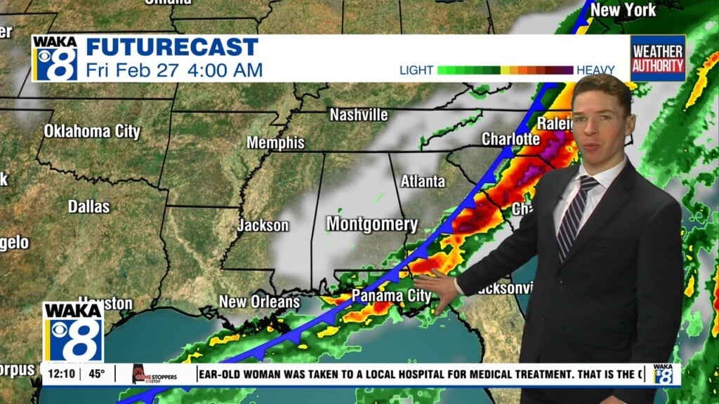
Temperatures trend warmer for the rest of the week. Highs Tuesday range from the 50s to around 60° with a mostly sunny sky. Wednesday looks partly cloudy with highs near 70°. Rain returns Thursday as the next cold front arrives in Alabama. Some storms appear possible, though at this time, appear likely to remain sub-severe. But stay tuned for updates in case that changes before Thursday. Rain/thunder continues Thursday night.
The front pushes through and southeast of our area early Friday, so most if not all of the day looks dry. Meanwhile, temperatures remain much warmer on the backside of this cold front. Highs range from the mid to upper 60s Friday. Friday night lows remain above freezing. For now, this weekend looks mainly dry with sunshine and high temperatures in the low to mid 70s Saturday and Sunday.