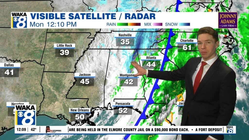
A Reminder That It’s Still Winter!
Spring officially begins later this week but winter isn’t going away quietly. A late season cold snap has arrived and you’re going to feel it over the next few days. Morning temps will drop to below freezing through midweek. Spring-like warmth will be returning and sticking around for a while.
In the meantime, we expect a partly cloudy sky with temps dropping into the upper 20s to lower 30s overnight. Winds will be northwesterly at 5 to 10 mph and that will generate wind chills in the upper teens to lower 20s early Tuesday morning. The rest of the day will be sunny but still chilly for mid March. Temps only manage the upper 40s to lower 5os for highs. Another cold night is ahead for Tuesday into Wednesday. Temps drop to around and just below the freezing mark. High pressure will be overhead and that will give another mainly sunny day. Temps will slowly rebound into the lower 60s for highs.
The latter half of the week will be trending warmer. Abundant sunshine will continue to feel the sky and temps will respond. We see 70s for highs and lows only in the 50s Thursday and Friday. The warming will continue over the upcoming weekend. Daytime temps will climb into the 80s for highs and lows in the mid to upper 50s.