A Brief Cool Down
We’re heading into a brief cooldown for a few days. Temps will return to the lower 70s for highs and that’s about average for mid march. The spring warmth will quickly return and we’re back in the mid 80s late week. That warm up is temporary as another frontal boundary swings through and cools us down again going into the upcoming weekend.
For now, you can expect a partly cloudy sky with temps dropping into the upper 40s overnight. A cool start to your Tuesday but temps will rebound into the lower 70s for highs. The slight cool down will continue into Wednesday. Morning temps will begin in the upper 40s to lower 50s and then manage lower to mid 70s for highs.
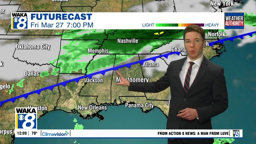
Another warming trend kicks in late week. We’re right back in the lower to mid 80s for highs. Overnight temps will climb and we’re in the mid to upper 50s for lows. A frontal boundary will move into the state Friday. It looks like a dry front and so we wont mention a chance for rain.
The upcoming weekend is setting up to be partly sunny and a bit cooler. Morning temps will start out in the mid 40s and afternoon highs in the mid 70s. It’s a typical temperature regime for this time of the year. Looking down the road, we may see our weather pattern becoming a little more active as we start out April.