Very warm weather, minimal chances for rain through this weekend
It was mainly sunny and dry over weekend, and our extended stretch of mainly dry weather continues this week. Afternoon temperatures trended warmer Saturday and Sunday, a pattern which continues this week. While Monday morning lows were in the low 50s, temperatures were in the mid 70s at midday. High temperatures range from the low to mid 80s Monday, while our sky remains partly to mostly sunny.
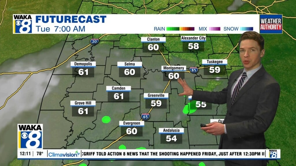
Monday night looks mostly clear with lows in the low to mid 50s. Low clouds or fog may develop after midnight through early Tuesday morning. That mixes out by the afternoon. The sky becomes partly to mostly sunny, with highs in the mid 80s. Low clouds or fog may form again Tuesday night, with lows in the mid to upper 50s otherwise. However, Wednesday becomes partly to mostly sunny by the afternoon and remains dry with high temperatures in the mid 80s.
Stray showers appear possible Thursday, but the vast majority of our area remains dry with a mix of sun and clouds. Friday could be the warmest day this week, with high temperatures approaching 90°. Our area remains dry and very warm Saturday. A cold front may push through our area Sunday. However, even along the front, rain coverage may be near-zero.