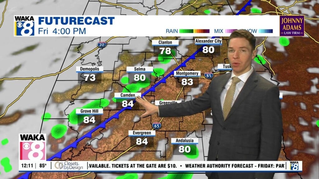
Flood watch through Tuesday evening, daily rain chances continue
While Tuesday morning started mainly dry with some sunshine in the mix, shower and storm coverage was increasing by midday while the sky became mostly cloudy otherwise. Scattered to numerous showers and storms, capable of heavy rain and lightning form Tuesday afternoon. Rain totals of greater than an inch may lead to localized flooding. A flood watch continues for our entire viewing area through Tuesday evening.
Rain may linger beyond midnight across part of our area, but our area should be drier by Wednesday morning, similar to Tuesday morning. Although, daytime heat fuels more showers and storms during the day, with coverage becoming scattered to numerous once more. Just like recent days, much of the rain fades away Wednesday night. Otherwise, a partly to mostly cloudy sky may allow temperatures to warm into the mid and even upper 80s.
Click here for more news from WAKA.