Mid-90° heat Friday, Better rain chances and less hot this weekend
Friday looks like another hot day across central and south Alabama, fitting for the last day of July. High temperatures range from the low to mid 90s, but peak heat indices range from 100 – 105°. However, a heat advisory was not issued for our area Friday. Additionally, isolated to widely scattered showers and storms form Friday afternoon and linger into Friday evening. Friday night trends drier with a partly to mostly cloudy sky and lows in the low to mid 70s.
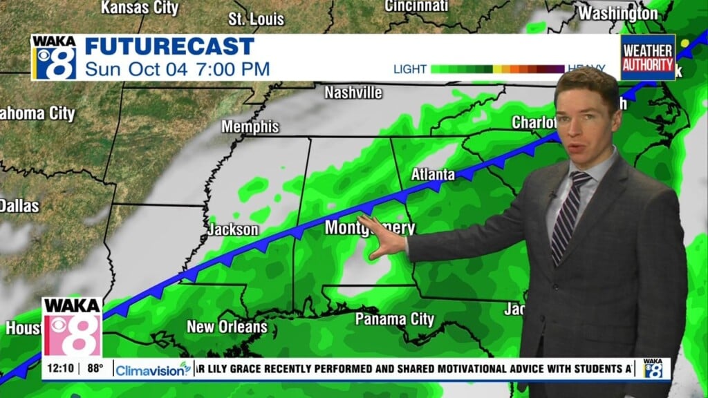
Our weekend weather looks less hot thanks to an approaching cold front from the west. The front looks unlikely to bring cooler or drier air to central and south Alabama. However, our weekend heat looks less intense thanks to better chances for rain and more cloud-cover. Rain coverage looks scattered Saturday, with showers and storms possible before midday and during the afternoon/evening. Showers/storms remain more widely scattered Sunday.
The front may make some progress east into Alabama this weekend, but it ultimately stalls and fizzles out by early next week. However, rain coverage may remain widely scattered Monday and Tuesday. That helps hold high temperatures in the low 90s those days. However, it looks like our area trends drier again for the rest of the week. Meanwhile, high temperatures trend back into the mid 90s Thursday and Friday.