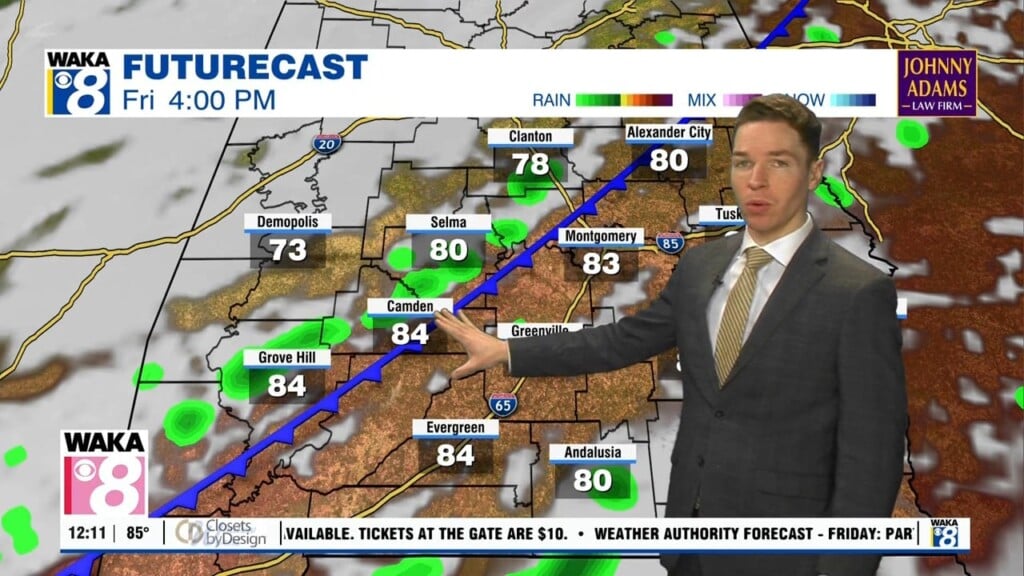
Mid-90° heat, afternoon/evening shower/storm chances this week
Our second week of August looks hot across central and south Alabama. Temperatures likely reach the mid 90s each afternoon in most locations. Fortunately, humidity remains low enough early this week to keep peak heat indices generally below 105° (heat advisory criteria). Additionally, at least isolated but perhaps widely scattered showers and storms form across our area each afternoon/evening.
The sky remains partly cloudy outside of showers/storms Monday, with high temperatures in the mid 90s. Meanwhile, heat indices peak generally near or slightly below 100°. Monday night becomes partly cloudy or mostly clear after rain fades away, with lows in the mid 70s. High temperatures remain in the mid 90s for the rest of the week. Due to increasing humidity, heat indices may reach advisory criteria Wednesday through Friday.
Hot and humid weather continues this weekend, with high temperatures in the mid to perhaps upper 90s Saturday and Sunday. Meanwhile, rain coverage may decrease this weekend. Mid to upper 90° heat continues for at least the first half of next week. Meanwhile, rain coverage may remain isolated through Wednesday.