Heat advisory continues, a few severe storms possible Wednesday
Intense summer heat continues Wednesday across central and south Alabama. A heat advisory continues through at least early Wednesday evening across all of central and south Alabama. The heat advisory was extended through 9PM Thursday for central Alabama. High temperatures range from the mid to upper 90s Wednesday and Thursday, with heat indices near or over 105° for most of each afternoon.

However, showers and storms may cool some of our area down during the afternoon and evening. Rain coverage looks widely scattered through Wednesday evening, though may favor southwest Alabama initially again. A few storms may become strong to severe, capable of damaging wind gusts up to 60 mph. A MARGINAL (level 1/5) severe risk covers the southwest part of our area.

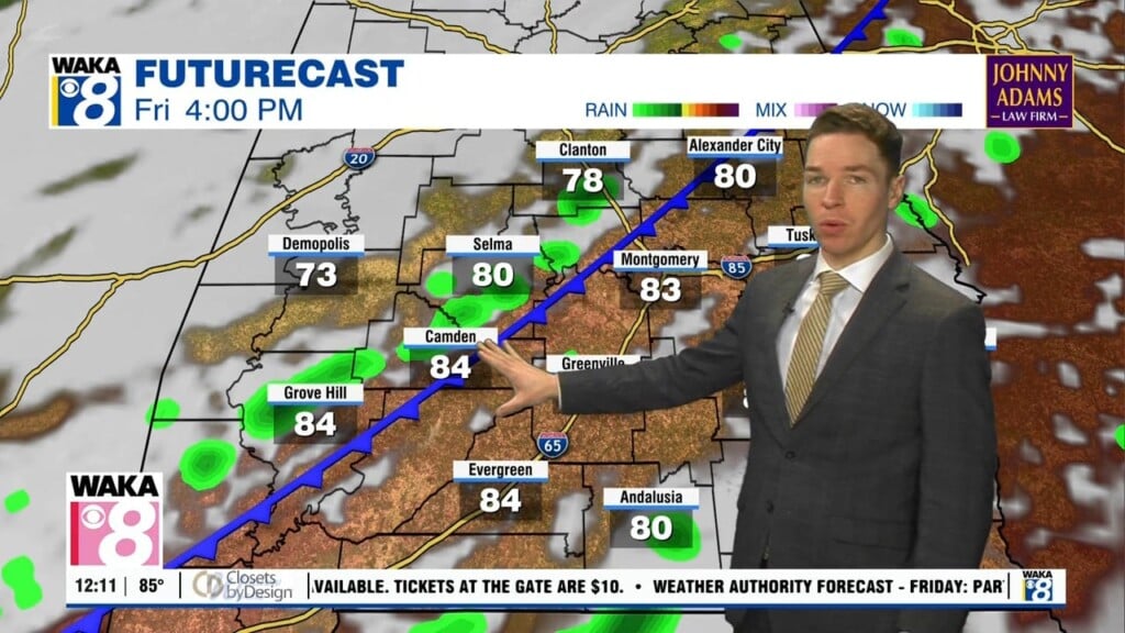
A heat advisory may ultimately be extended into Friday for at least part of our area. High temperatures range from the mid to upper 90s again Friday, with higher heat index values. However, afternoon coverage of showers and storms remains widely scattered Thursday and Friday. Another front heads our way this weekend, and may push through and south of at least part of our area Saturday into Sunday. That may suppress rain chances, but also hold highs in the mid 90s.