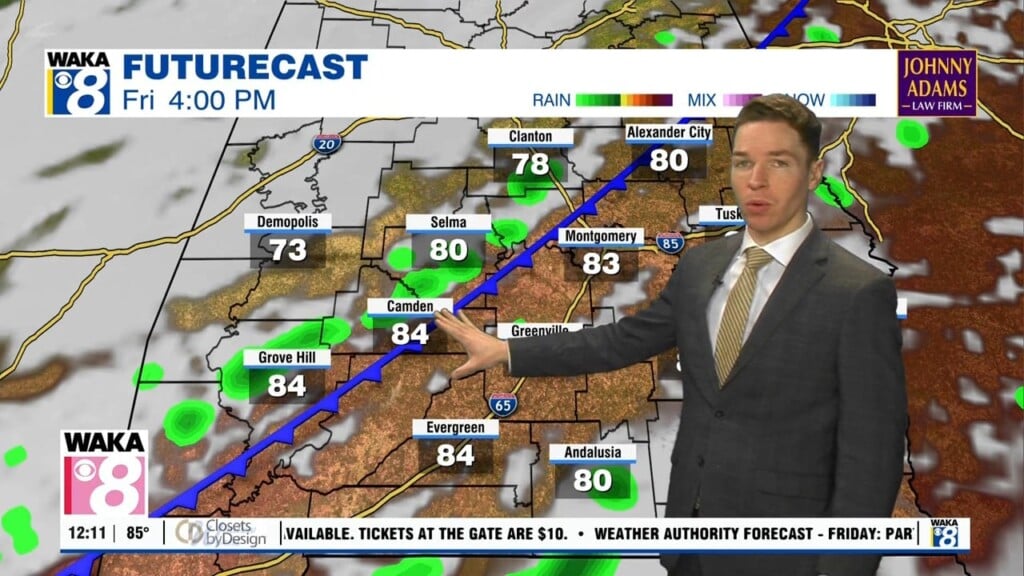
A few severe storms possible Tuesday, typical heat through Friday
Tuesday morning was mainly sunny and dry, with temperatures warning to either side of 90° at midday. Tuesday afternoon looks partly cloudy with isolated showers and storms. A few storms may become severe, capable of damaging wind gusts. A marginal (level 1/5) severe risk covers far south Alabama on either side of highway 84. However, many locations remain dry, where high temperatures range from the low to mid 90s.

A few showers or storms may linger into Tuesday evening, but Tuesday night becomes mainly dry with a partly cloudy to mostly clear sky. Low temperatures range from the low to mid 70s. Rain chances rise for the rest of this week, with widely scattered showers/storms Wednesday through Friday afternoon/evening. Another front approaches the southeast late this week, but likely stalls Friday then fizzles out this weekend.
Otherwise, high temperatures range from the low to mid 90s for the latter half of this week. Rain coverage falls, becoming isolated again this weekend. Otherwise, Saturday and Sunday look partly cloudy with highs in the low to mid 90s. Rain chances remain low through at least Thursday of next week, not uncommon for early September across central and south Alabama. Meanwhile, high temperatures may be mainly in the mid 90s next week.