Marginal severe risk Wednesday, rain chances rise through Friday
Much of Wednesday morning was mainly dry with a mix of sun and clouds. Showers and storms formed in west Alabama near the Mississippi state line around midday. Rain coverage becomes scattered Wednesday afternoon/evening with a few severe storms possible. A marginal (level 1/5) severe risk covers locations west of I-65, where a few storms may produce damaging wind gusts.
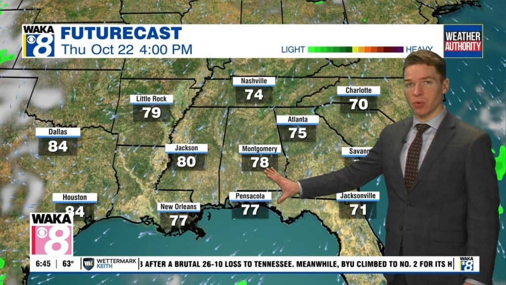
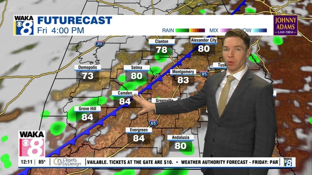
Storms diminish Wednesday night while the sky remains partly to mostly cloudy with lows in the low 70s. Another front approaches the southeast Thursday. This front likely stalls just northwest of our area, so cooler or drier air from the front looks very unlikely for us in central and south Alabama. However, the front acts as a focus for showers and storms. That results in at least a widely scattered rain coverage Thursday and Friday.