Heat advisory through Saturday, rain chances improve a bit Sunday
Thursday was another blazing hot early September day across central and south Alabama. Montgomery tied a record high temperature again- it was 99° just before 3PM Thursday. The last time that happened on September 3rd was in 1925. Rain coverage was limited during the afternoon, with just isolated showers or storms mainly north of highway 80. Thursday night trends mainly dry with a mostly clear sky and lows in the mid 70s.
Central and south Alabama remains very hot Labor Day weekend. High temperatures range from the mid to upper 90s through Sunday. Meanwhile, heat indices may reach or exceed 105° each afternoon. A heat advisory continues through at least 8PM Saturday for central Alabama. If you will be outside for a long time this weekend, take more frequent breaks in at least shaded or better air conditioned places and stay hydrated to avoid heat-related illness.

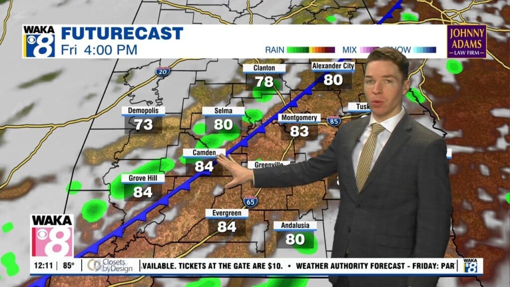
Meanwhile, rain coverage remains isolated Friday and Saturday. However, a front may approach Alabama Sunday. As a result, rain coverage becomes at least widely scattered Sunday and Labor Day. Temperatures may only reach the low 90s Monday and Tuesday. However, high temperatures likely trend back into the mid 90s for the rest of next week, with just stray to isolated showers and storms each day.