Noon Update: Wet For the Rest of Work Week
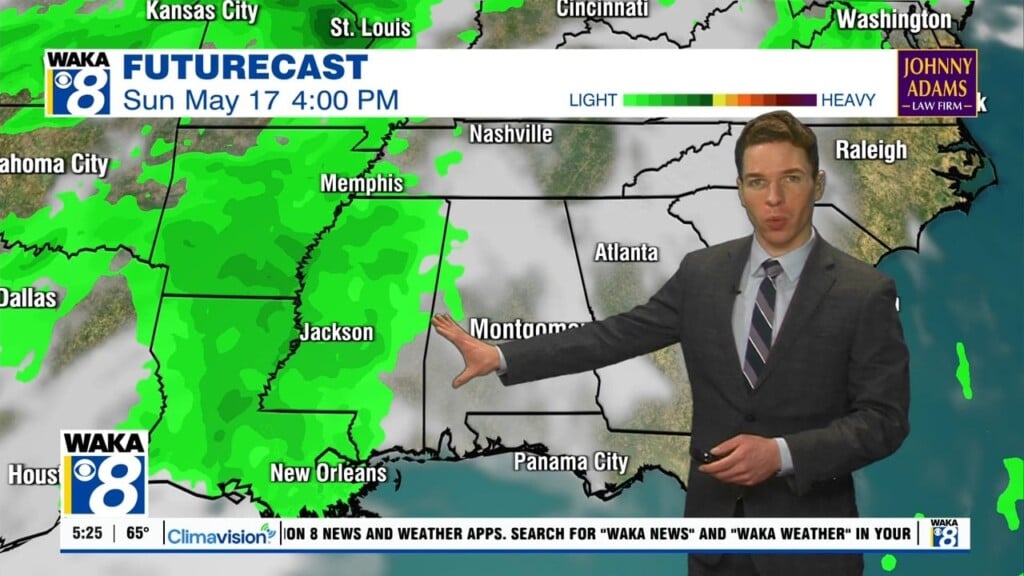
TODAY/FRIDAY: A surface low over the northern Gulf of Mexico will track east along the Gulf Coast the next 24 hours, bringing rain to Alabama and it will be a chilly rain. These two days look rather raw as we expect cloudy conditions with periods of rain, temperatures will have a hard time climbing into the lower and mid 60s both days. Rain amounts should be in the 1/2 to 1 inch range for many communities.
THE ALABAMA WEEKEND: A bit of change in the forecast for the weekend. For now Saturday looks dry and cool and the day will be partly sunny with a high in the mid to upper 60s. An upper trough will push a surface front through here late in the weekend; the bulk of the day Sunday looks dry, but we will mention some risk of showers late Sunday night with this feature. Rain amounts should be on the light side; generally under 1/4 inch.
FOOTBALL WEATHER: For the high school games Friday night, the weather will be dry and cool…the sky will be cloudy with temperatures in the 50s for the games.
MAGIC CITY CLASSIC: For Saturday’s Magic City Classic in Birmingham (Alabama State vs Alabama A&M at Legion Field; 2:30p CT kickoff), the sky will be occasionally cloudy, but at this point it looks dry with a kickoff temperature around 63°, falling into the upper 50s by the final whistle.
Alabama and Auburn have a bye week.
NEXT WEEK: A touch of light rain is possible over North Alabama Monday, but Tuesday and Wednesday look cool and dry. No rain issues for the trick-or-treaters this year; the high Wednesday will be in the 70s. Rain returns Thursday or Friday with an approaching cold front. Temperatures look to be in the 70s for highs and 50s for lows.
TROPICAL UPDATE: Most of the Atlantic basin remains quiet, but Showers and thunderstorms are gradually becoming better organized in association with a broad area of low pressure located over the central tropical Atlantic about 950 miles east-northeast of the northern Leeward Islands. This low is expected to move northward over the next couple of days into an area where upper-level winds are forecast to be conducive for further development, and a tropical or subtropical storm is likely to form on Friday or Saturday. After that time, the system is forecast to turn westward well to the north or northeast of the Lesser Antilles through early next week. Formation chance through 48 hours…medium…60 percent. Formation chance through 5 days…high…80 percent.
Stay dry!
Ryan


