Rain On The Way For Part Of The Weekend
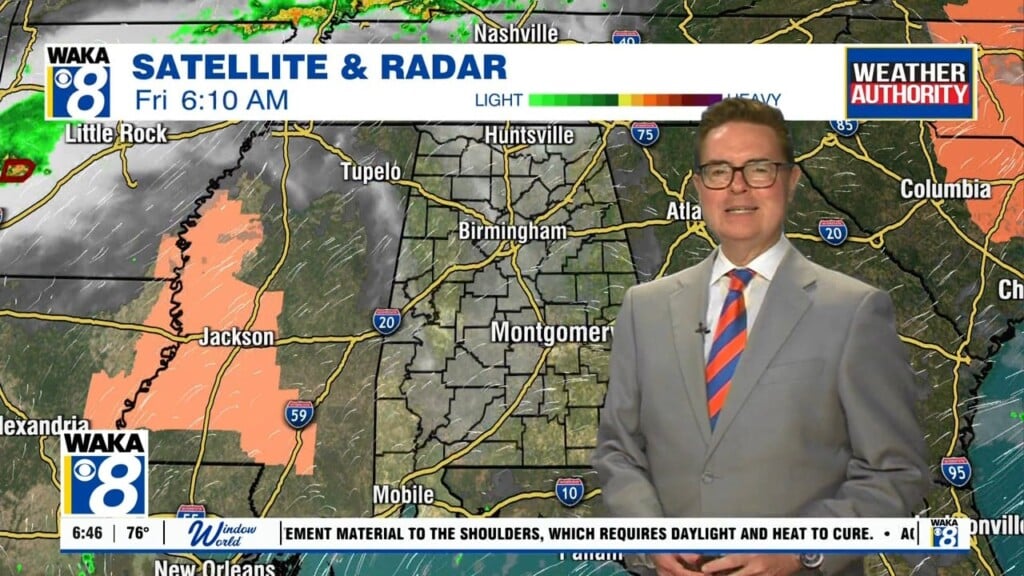
Some changes in our weather are ahead for this weekend. High pressure slides east of us while a frontal boundary approaches the western side of the state. Showers and a few storms will accompany the front as it moves closer to the area. We don’t see anything too strong or severe but a few rumbles can’t be ruled out Saturday. The front stalls west of our area and may actually retreat north and westward Sunday. This will put us back into a mostly sunny and warmer setup for Sunday. A shower or two will still be possible but most spots remain dry. All locations will feel the warmth as temps soar into the lower to mid 80s for afternoon highs. The warming continues into next week. Monday and Tuesday will feel almost summer-like with mid 80s likely both days. Looks like a tropical feature will try to send some moisture our way around the middle and latter half of next week. Rain chances would return and temps come down a bit due to clouds and rain activity. Confidence is low on this features impacts at this point so something we will be watching over the next few days. In the meantime, have yourself a great weekend!