Very Warm, Humid, Scattered Storms Through Friday
Wednesday morning was mainly cloudy across much of central and south Alabama. Rain coverage was low until midday. By noon, a band of showers expanded across our western and southern communities. Meanwhile, the sky was fairly sunny on either side of highway 280 at that time. The sky remains partly to mostly cloudy with scattered showers and storms Wednesday afternoon and evening. High temperatures range from the mid to upper 80s.
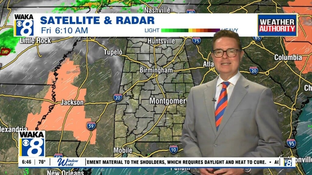
Rain fades away after midnight Wednesday night. However, showers and storms become scattered about again on Thursday and Friday. These too follow a pattern typical of summer, forming during the afternoon, lingering into the evening, and fading away at night. Temperatures warm into the upper 80s in most locations both Thursday and Friday.
Mother’s Day weekend still looks drier, but not rain-free in our area. Isolated showers or storms remain possible both Saturday and Sunday, mainly during the afternoons. Temperatures warm into the upper 80s and possibly low 90s each day. The rain chance may rise early next week. Models show a front at least approaching Alabama at that time. The front may push through our area, possibly resulting in drier weather Tuesday and Wednesday.