Better Rain Chances this Week and More Tropical Mischief
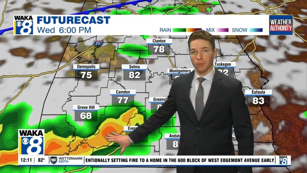
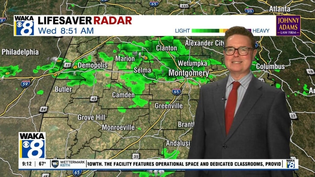
THE WEEK AHEAD: Better rain chances highlight our forecast for the week ahead. The upper ridge over the region weakens, and with colder air aloft the air will be more unstable, and we expect rather unsettled weather with scattered to numerous showers and thunderstorms on a daily basis. Rain chances look to be in the 50% followed by the 60-80% range the rest of the week, so hopefully we will all be getting some rain at times through the week. Highs today should be in the low 90s, but in the days ahead, due to the additional clouds and rain, temps will not be as hot, with highs generally in the upper 80s, with extremely muggy conditions expected.
ROLLING INTO THE WEEKEND: Moisture levels look to be decreasing somewhat for your Friday and so do the chances of rain and thunderstorms. At this point, chances remain elevated but not as likely. At this point, most of the activity may stay over the North Alabama. Highs will range from the upper 80s to mid-90s.
IN THE TROPICS: Shower activity continues to become a little better organized in association with a broad area of low pressure located over the central tropical Atlantic about midway between the coast of Africa and the Lesser Antilles. Environmental conditions are expected to become increasingly conducive for development of this system, and a tropical depression or tropical storm is likely to form within the next day or two while moving westward to west-northwestward at 15 to 20 mph. This system is expected to begin affecting portions of the Lesser Antilles on Wednesday or Wednesday night, and interests on those islands should continue to monitor its progress. Formation chance through 48 hours…high…80 percent. This will likely become Isaias.

HURRICANE DOUGLAS: At 1100 PM HST, the center of Hurricane Douglas was located near latitude 22.5 North, longitude 158.8 West. Douglas is moving toward the west-northwest near 16 mph. This general motion is expected to continue for the next couple of days, with a slight turn to the west and an increase in forward speed.

Maximum sustained winds are near 90 mph with higher gusts. Weakening is forecast during the next 48 hours, but Douglas will remain a hurricane until it passes west of Kauai. Hurricane-force winds extend outward up to 25 miles from the center and tropical-storm-force winds extend outward up to 115 miles. The estimated minimum central pressure is 987 mb (29.15 inches).
Stay safe and have a marvelous Monday!!!
Ryan