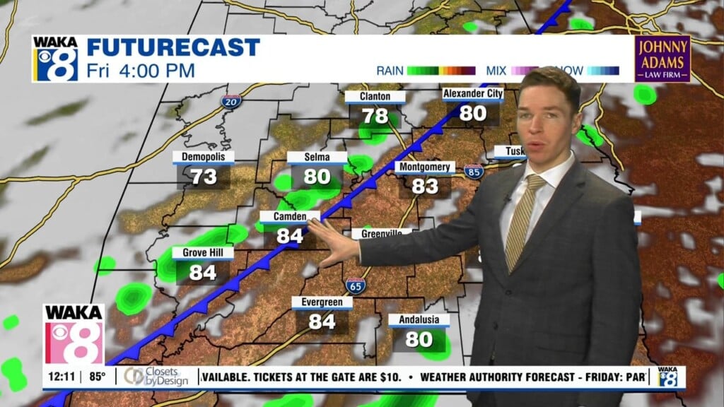
Hot, humid, rain chances rise for the rest of the week and weekend
Hot and humid weather continues across central and south Alabama this week. For now, heat indices remain below heat advisory criteria (generally peak heat indices of 105-108°+ for our area), but still top out near 100° Tuesday afternoon. Shower and storm coverage likely remains isolated Tuesday. High temperatures range from the low to mid 90s. A few showers or storms remain possible Tuesday evening. Tuesday night becomes partly cloudy with lows in the low to mid 70s.
The chance for and afternoon or evening shower or storm rises Wednesday. Rain coverage becomes widely scattered, and likely remains so for the rest of the week. However, high temperatures remain in the low to mid 90s each day. Meanwhile, peak heat indices remain near or above 100°. Shower/storm coverage rises further this weekend, which may keep high temperatures in the low 90s Saturday and Sunday.
Rain coverage remains widely scattered to scattered early next week. However, the chance for an afternoon shower or storm may fall by Wednesday. As a result, high temperatures may remain in the low 90s early next week. Although, high temperatures may approach or reach the mid 90s again by late next week.